

My colleague turned his phone to me and said, “Have you seen this?” Thinking that it was just another funny video created by one of the many internet users who are currently in lock-down due to the COVID-19 pandemic, I braced myself. This time however, it was no joke!
On August 4th, 2020, a warehouse at the Port in Beirut, Lebanon, storing approximately 2,750 tonnes of ammonium nitrate, exploded, destroying nearby buildings and causing damage miles away.
Compare the images below by moving the slider. They show images pre-event on June 9, 2020 and post-event on August 5, 2020. In the image the port warehouses, and the grain silos can be seen. The destruction of the 120,000-ton capacity structure of the grain silo and disabling of the port, the main entry point for food imports, exacerbates concerns about food supplies for Lebanon.


Coincidentally, during my university days in Edinburgh, Scotland, I shared a flat with two amazing ladies who I grew very close to during my year abroad. Thankfully, I still maintain close contact with them, although it has been more than 16 years since we first met. One of them is from Lebanon and the other from Cyprus. Instinctively, upon realizing the severity of the situation that I witnessed in that video, I reached out to them both. My friend from Lebanon, now resides elsewhere. She indicated however, that many of her family members suffered damage to their homes. My Cypriot friend mentioned that they heard the explosion all the way in Cyprus and that it even felt like an earthquake!
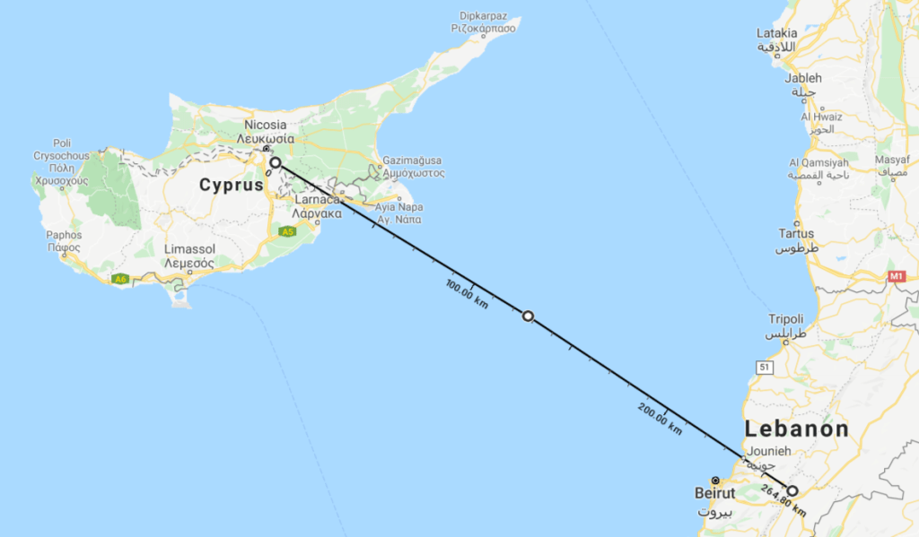
Pictured below is a map showing the proximity of Cyprus to Lebanon, an approximate 265 km distance. I couldn’t help but think of the safety of my friends and their families.
As a member of the humanitarian mapping charity – MapAction, I was thankful to learn that a 3 member group was being deployed to help! Even with the rising challenges of operating during the COVID-19 pandemic, this organization, as well as many others are ready to offer support in crisis.
Responding to the Beirut explosion
After being given the opportunity to attend an International Search and Rescue Advisory Group (INSARAG) Earthquake Response Exercise (ERE) in December 2019 in Thailand, I have a deeper understanding and appreciation for the need of collaboration and communication between the teams that are on the ground responding to a disastrous situation. MapAction supports this effort by providing maps to help with co-ordination. The map below shows that in Lebanon, there are several teams on the ground, to include Urban Search and Rescue (USAR), United Nations Office for the Coordination of Humanitarian Affairs (UN OCHA) and the Red Cross. It is quite helpful when co-ordination locations are known by all the teams on the ground.
This is another map that has been provided by MapAction. It shows the area being divided up into more manageable sectors. The locations where bio hazards exist, have been identified and highlighted on the map.
During the past few days, many satellite imagery companies have offered their support to Beirut. This offering is welcomed, as it helps teams on the ground to conduct further damage assessment and provide service delivery to those in need.
The Disasters Charter has also been activated to respond to the Beirut blast. Though clouds obscure parts of this image taken via a Pleides satellite sensor, the map shows emergency shelters being set up, and highlights the location of hospitals in the area.

It is my hope and prayer that Lebanon receives the much needed support and humanitarian relief it requires in the aftermath of this disaster. #prayforlebanon
In my previous blogs I have indicated the importance of up-to-date imagery in responding to a disaster and also what led me to becoming a MapAction Volunteer. You can read them below:
Lavern Rogers-Ryan is a geospatial consultant specialising in disaster risk management and recovery. She is currently head of the GIS Centre within the Government of Montserrat. Learn more about geospatial services in disasters at www.lavernrogersryan.com.
That was an excellent description of the Beirut blast. Plus, all the information is of high importance. Top professional work Mrs Rogers-Ryan!!!
(Your friend from Cyprus)
Thank you Maria. I am just thankful that you and your family are doing okay. Continued prayers for Lebanon ??. #prayforBeirut